Utility Locating Quality Levels
The Need for Quality Levels
In utility locating, not all data is created equal. To prevent buried utilities from being damaged during excavation, it’s important to know the quality of the locating data being used to determine where to dig safely.
The American Society of Civil Engineers’ (ASCE) Standard Guideline for the Collection and Depiction of Existing Subsurface Utility Data provides overviews of the various methods of obtaining utility locate data, and categorizes each method by different quality levels. The quality levels indicate the reliability of the locate data – the higher the quality level, the more project planners are able to make informed decisions to reduce the risk of utility strikes during excavation.

Overview of Quality Levels
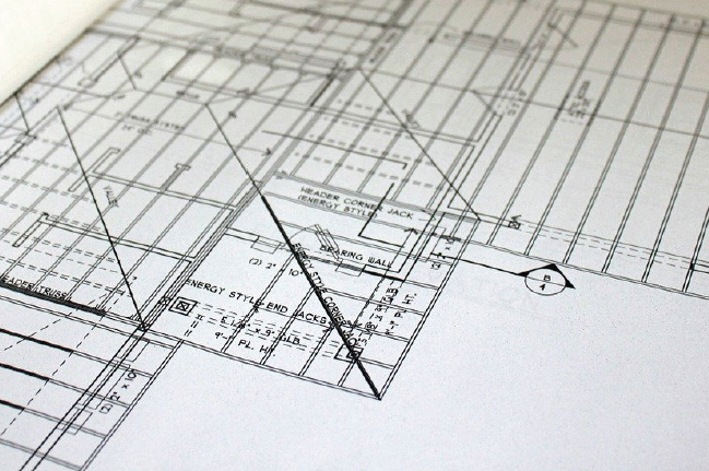
Quality Level D: Quality level D information represents the lowest quality tier of available utility locating data. It includes existing records such as utility owner maps, field notes, and previous construction plans, as well as any oral recollection.
According to the Guideline, “Inaccurate, incomplete, and/or out-of-date information on the existence and location of existing subsurface utilities reduces the engineers’, owners’, and contractors’ abilities to make informed decisions and to support risk management decisions regarding the project’s impact on existing utilities.” ASCE makes it clear: to help stakeholders make informed decisions, better utility locate data is needed.
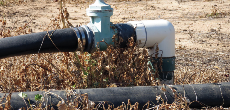
Quality Level C: Quality level C involves performing a visual site inspection in addition to obtaining any quality level D data. The visual site inspection may include a survey of topographical features, visual identification of above-ground utility access points (such as a phone pedestal or gas valve), and comparing the survey with existing utility records.

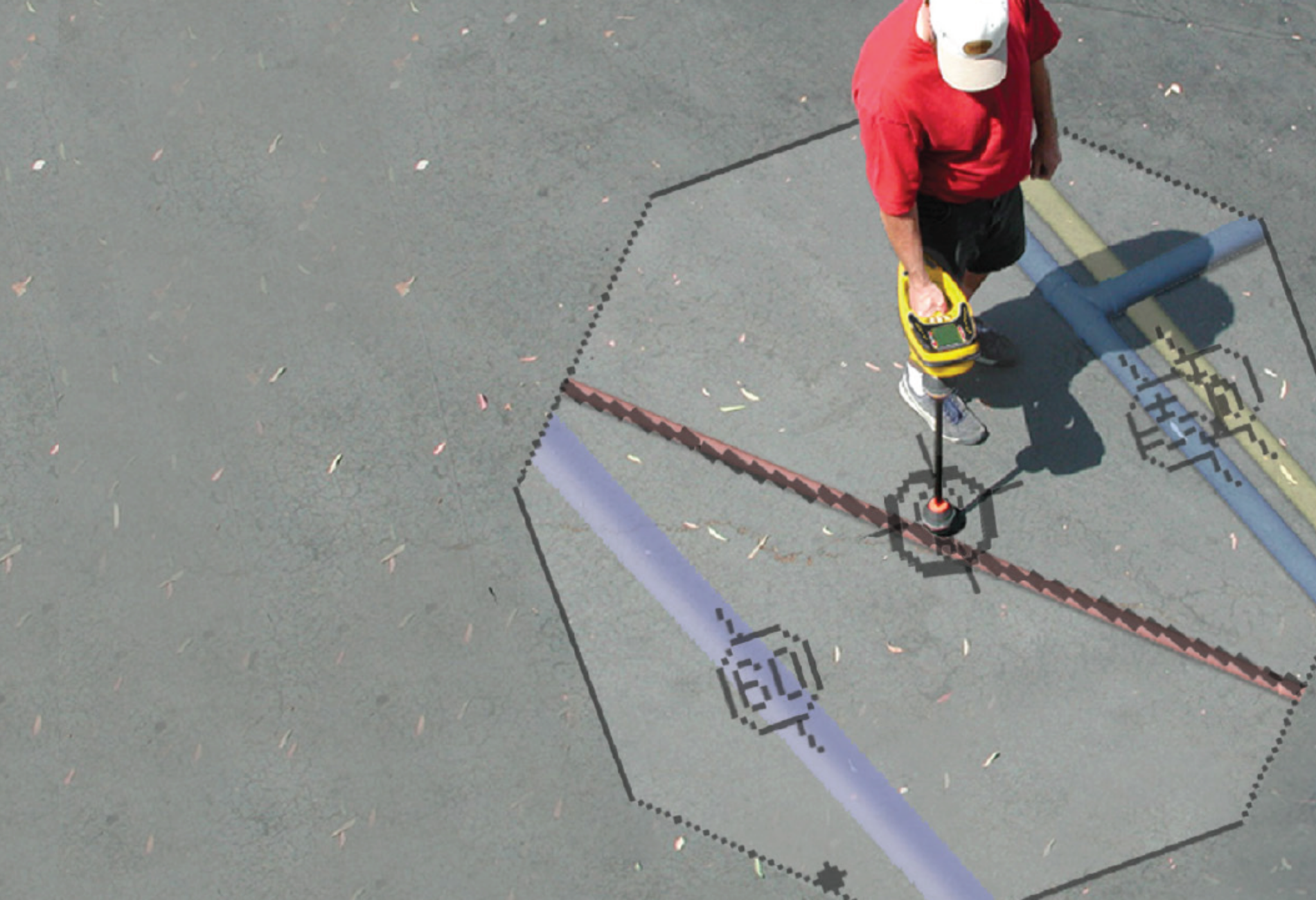
Quality Level B: Utility locating is the key ingredient for obtaining quality level B data. The guideline states to use a “surface geophysical method” to search for buried utilities within the project area, including electromagnetic locating and ground penetrating radar.
The utilities need to be both marked on the ground, such as with paint or flags, and recorded. Any inconsistencies between the utilities’ positions as indicated by the locate method and any existing information should be resolved.
Quality Level A: The most accurate utility data is obtained by physically exposing the utility, also known as “daylighting” the asset. Test holes are dug according to any applicable regulations for damage prevention, such as any requirement to use hand digging within a utility’s tolerance zone. There has also been a more recent trend to use vacuum excavation to expose the utility. This method may cost more than hand digging up front but is generally considered to be a safer method.
Once the utility has been exposed, its precise horizontal and vertical location is recorded. Verifying and recording a utility’s location during installation can also provide quality level A data, removing the need for future test holes to confirm the utility’s location.
Improving Quality Level B Data
Since level B data is the highest quality data that can be obtained without actually digging up the ground, it’s critical for it to be as reliable as possible. Improving quality level B data may also provide cost savings by reducing the amount of failed test holes that are dug, whether with hand digging or vacuum excavation. The Common Ground Alliance’s 2019 DIRT report found that approximately 21% of reported utility damages were due to a locating issue, which includes “damages caused by inaccurate or uncompleted marking.” 1
Locator issues can happen for a number of reasons, but having a comprehensive picture of what’s happening underground can improve the quality of level B data—and help to reduce the risk of damages. RIDGID® SeekTech® and NaviTrack® locating receivers include omnidirectional antenna arrays that measure signal interference in addition to strength, depth, and orientation. Knowing whether signal interference is present can help operators determine whether additional steps need to be taken to improve the locate’s accuracy, such as adjusting frequency or the transmitter’s power output.
Regardless of the equipment used, understanding the different quality levels of utility data, and to take steps to ensure the best possible locate data is achieved, goes a long way in our shared responsibility to prevent underground damages.
1 DIRT Annual Report for 2019, Common Ground Alliance. Page 13 and 48.


